A concise, exam-focused explanation of the major branches of geomorphology, covering applied, tectonic, submarine, climatic, and planetary landform studies. Designed for quick understanding, UPSC preparation, and Google Discover visibility.
Relict landforms are long-surviving features shaped by vanished climatic processes. Learn their meaning, formation, characteristics, examples, and geomorphological significance in a UPSC-ready format.
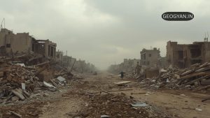
An earthquake, the shaking of Earth’s surface, results from energy release in the lithosphere. Primarily caused by tectonic plate movement and stress buildup along faults, other triggers include volcanic activity, landslides, and human actions like fracking. Key terms include hypocenter, epicenter, magnitude, intensity, seismic waves (P-waves, S-waves), aftershocks, and tsunamis. Earthquakes are measured by seismographs using scales like the Moment Magnitude Scale. High-risk areas include the Pacific Ring of Fire.

Discover how early civilizations like the Phoenicians, Greeks, and Polynesians mastered Early Ocean Voyages for trade and exploration. Learn about their innovations in navigation, shipbuilding, and chart-making, laying the foundation for modern marine science.

Discover the four main types of marine sediments – terrigenous, biogenous, hydrogenous, and cosmogenous. Learn about their origins, composition, and importance in studying Earth’s geological history.

Discover the wonders of tides, from the daily rise and fall of high and low tides to the unique behaviors of spring and neap tides. Learn about the thrilling tidal bore phenomenon and its impact on coastal communities.
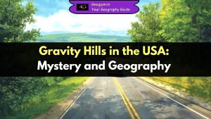
Explore the fascinating world of gravity hills in the USA, where cars appear to roll uphill against gravity. From Pennsylvania to California, these mysterious sites combine geography, optical illusion, and tourism. Learn their scientific explanation, history, and importance for competitive exams in this comprehensive guide.
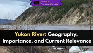
The Yukon River, North America’s lifeline, flows 3,190 km through Canada and Alaska into the Bering Sea. Discover its geography, tributaries, history, ecology, and the latest climate challenges in this detailed, exam-oriented blogpost designed for competitive studies and general awareness.
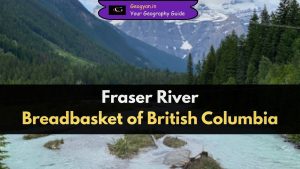
Discover the Fraser River, the longest river in British Columbia, Canada. Learn about its origin, course, basin, tributaries, and ecological importance. Understand how climate change impacts salmon runs, agriculture, and floods. A must-read for geography students, UPSC/PCS aspirants, and environment enthusiasts with detailed, exam-focused insights.
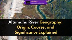
Discover the Altamaha River’s course, ecology, pollution challenges, and conservation efforts in 2025. This blog provides aspirants with bold facts, FAQs, and exam-relevant insights on Georgia’s last free-flowing river for UPSC and State PCS preparation focused on geography and environment.
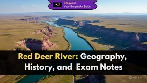
Discover the Red Deer River in Alberta, Canada – famous for its scenic badlands, rich fossil sites, and diverse geography. Learn about its course, tributaries, ecological importance, and historical significance in simple and exam-friendly language.
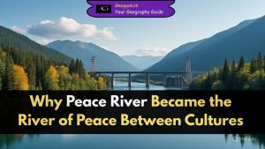
Peace River is a major Canadian river flowing through British Columbia and Alberta, spanning 1,923 km. It is vital for hydroelectricity, agriculture, and ecology, forming part of the Mackenzie River System. Recently, the Site C Hydroelectric Project brought Peace River into the spotlight. Learn about its geography, history, and importance for competitive exams.

“The Equator: More than just a line. Learn about its impact on Earth’s geography, climate patterns, and even space launches. Essential knowledge for geography students and exam takers.”

Patrick Geddes, a British geographer, introduced the “Place-Work-Folk” concept to study communities. His regional surveys and contributions to town planning influenced geographical studies for decades. Explore his ideas in this blog post.

The history of geography dates back over 2,000 years to the Greeks, who coined the term by combining “geo” and “graphein” to mean “earth writing” or “earth description.” Ptolemy’s Guide to Geography in the 2nd century CE marked one of the discipline’s first books, emphasizing a representation of the entire known world using pictures.

A map is a simplified view of an area, usually a part of the Earth’s surface, seen from above and scaled down. The process of making maps is called cartography, a part of geography. Maps are essential tools for geographers to show spatial information and analyze relationships between different places.

Geography degrees equip students with a wide range of skills, making them adaptable and valuable in the job market. The interdisciplinary nature of geography allows graduates to connect and integrate knowledge from different fields, making them well-rounded professionals.

Discover the benefits and components of social forestry, including urban forestry, rural forestry, and farm forestry.