


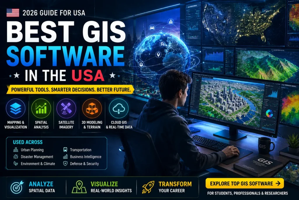
Estimated reading time: 6 minutes
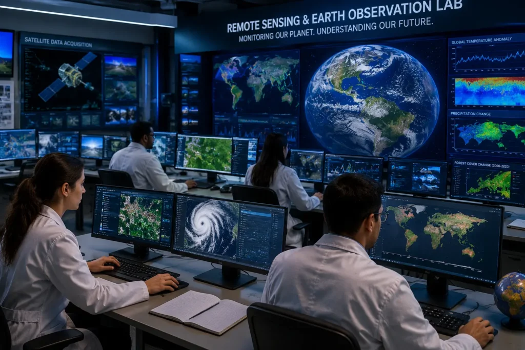
Geographic Information System (GIS) technology has become one of the fastest-growing fields in the world. In the United States, GIS is widely used in urban planning, disaster management, climate studies, transportation, agriculture, business analytics, defense, and environmental monitoring. As industries increasingly rely on location-based data, the demand for powerful GIS software is growing rapidly.
Whether you are a geography student, research scholar, GIS analyst, or remote sensing professional, choosing the right GIS software can significantly improve your productivity and career opportunities. Modern GIS tools not only create maps but also help users analyze spatial data, visualize patterns, and make informed decisions using geographic information.
What is GIS Software?
GIS software is a digital tool used to collect, manage, analyze, and visualize geographic or spatial data. It helps users understand relationships, patterns, and trends through maps and data layers. In simple terms, GIS software transforms ordinary maps into intelligent systems capable of solving real-world problems.
For example, GIS can help city planners identify traffic congestion areas, assist environmental scientists in monitoring climate change, and enable businesses to select the best locations for new stores.
Why GIS Software is So Important in the USA
The United States is one of the global leaders in geospatial technology. Government agencies, universities, private companies, and research organizations heavily invest in GIS technology for data-driven decision-making. GIS is commonly used in:
- Smart city planning
- Weather forecasting
- Emergency and disaster response
- Environmental conservation
- Transportation and logistics
- Military intelligence
- Public health mapping
- Real estate analysis
- Agriculture and precision farming
Due to these applications, GIS professionals are highly valued in the American job market, and GIS-related careers often offer attractive salaries.
Top GIS Software Used in the USA
1. ArcGIS Pro
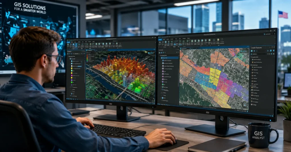
ArcGIS Pro, developed by Esri, is considered the most powerful and widely used GIS software in the world. It is extensively used by government agencies, universities, environmental organizations, and private industries across the USA.
The software offers advanced spatial analysis, 3D visualization, remote sensing integration, and professional cartographic tools. It also supports cloud-based GIS services and real-time data analysis, making it ideal for large-scale projects.
Best for: Professional GIS analysts, researchers, and government projects.
2. QGIS
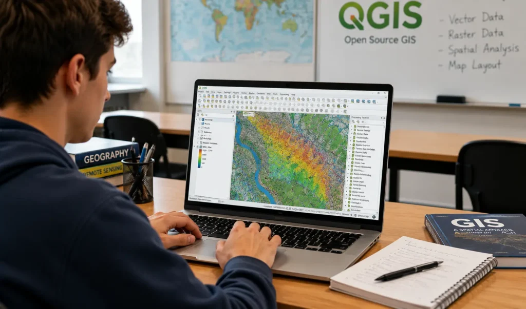
QGIS is one of the most popular open-source GIS platforms available today. It is completely free and provides many advanced GIS features similar to premium software. Because of its flexibility and community support, QGIS has become highly popular among students, researchers, and startups.
The software supports multiple data formats, plugins, and advanced map-making capabilities. It is especially useful for beginners who want to learn GIS without purchasing expensive licenses.
Best for: Students, academic research, and budget-friendly GIS projects.
3. Google Earth Pro
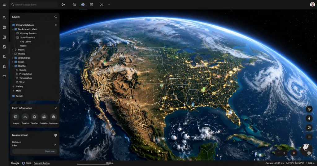
Google Earth Pro is widely used for geographic visualization and satellite imagery analysis. Although it is not as advanced as professional GIS platforms, it provides excellent tools for viewing terrain, measuring distances, and creating simple spatial presentations.
The software is easy to use and ideal for educational purposes, quick geographic analysis, and visual storytelling.
Best for: Beginners, teachers, and quick geographic visualization.
4. ERDAS IMAGINE
ERDAS IMAGINE is a specialized software primarily used for remote sensing and satellite image processing. It is commonly used in climate research, land-use analysis, forestry, and environmental studies.
The software offers advanced image classification, change detection, and geospatial modeling tools, making it highly valuable for scientific and research-based applications.
Best for: Remote sensing experts and environmental researchers.
5. Global Mapper
Global Mapper is known for its user-friendly interface and strong terrain analysis capabilities. It supports LiDAR processing, elevation modeling, and 3D terrain visualization. Many engineering and surveying professionals in the USA use this software for geospatial analysis and mapping.
Best for: Surveying, terrain analysis, and engineering applications.
Which GIS Software is Best for Students?
For students and beginners, QGIS is often considered the best choice because it is free, lightweight, and easy to learn. However, students aiming for professional GIS careers in the USA should also learn ArcGIS Pro, as it is widely used in industries and government organizations.
A good strategy is:
- Start with QGIS for basic GIS concepts.
- Move to ArcGIS Pro for advanced professional skills.
- Learn Google Earth Pro for visualization and presentations.
Career Opportunities in GIS
The GIS industry in the USA is expanding rapidly. Skilled GIS professionals can work as:
- GIS Analysts
- Remote Sensing Specialists
- Urban Planners
- Environmental Consultants
- Cartographers
- Geospatial Data Scientists
- Disaster Management Experts
According to industry reports, GIS-related jobs are expected to grow significantly due to increasing demand for location intelligence and spatial analytics.
Final Thoughts
GIS software has transformed the way humans understand and interact with geographic data. From climate research to smart city development, GIS tools are helping organizations solve complex real-world problems efficiently. Choosing the right GIS software depends on your goals, experience level, and professional needs.
For beginners, QGIS offers an excellent starting point, while ArcGIS Pro remains the industry standard for advanced GIS applications in the United States. As geospatial technology continues to evolve, learning GIS can open the door to exciting career opportunities in the future.
Also Read


