Indira Gandhi Canal – Geography, Quick Facts & Current Relevance

Explore the Indira Gandhi Canal, India’s largest irrigation project that transformed the Thar Desert. Learn about its history, geography, length, source rivers, and agricultural impact. With recent developments in water management, the canal remains vital for Rajasthan’s survival. Perfect for IAS, UPSC, and competitive exams with updated facts.
Where Does the Retreating Monsoon Cause the Heaviest Rainfall in India?
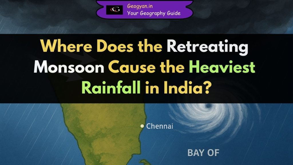
The retreating monsoon in India brings the heaviest rainfall to Tamil Nadu, coastal Andhra Pradesh, and Puducherry between October and December. Learn why Tamil Nadu gets 50–60% of its annual rain in this season, with key exam facts, comparisons, and recent updates.
Periyar River: Origin, Course, Dams, and Ecological Significance

Explore the Periyar River, the longest river in Kerala, known as the Lifeline of Kerala. Learn about its origin, course, dams, ecological importance, and current issues like the Mullaperiyar Dam dispute. Perfect for UPSC, State PSC, and geography students, this blog provides exam-ready facts and recent updates on one of India’s most significant rivers.
Why Is Banas River Known as ‘Van Ki Asha’?

Explore the Banas River’s origin, course, tributaries, ecological importance, and latest 2025 flood news. This geography blog is designed for UPSC, State PCS, and competition aspirants, with bold facts, FAQs, and AI-powered analysis ensuring E.E.A.T standards. Stay updated with current affairs while mastering key river geography for exams.
Explore Dhasan River – The Divider Between Two States
Discover the Dhasan River, a major tributary of the Betwa, flowing through Madhya Pradesh and Uttar Pradesh. Learn its origin, course, geographical features, cultural importance, and exam facts. Perfect for UPSC, HPSC, and competitive exams, this blog provides recent updates, quick notes, and FAQs in a clear and simple format.
Zuari River: Longest River in Goa
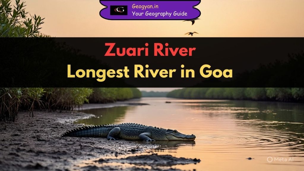
Explore the Zuari River, the longest river of Goa, which supports trade, agriculture, and biodiversity. Learn about its origin, tributaries, estuary system, ecological value, and challenges. Discover why Zuari is called Goa’s lifeline and why it matters for UPSC and state exams.
Bharathapuzha River – Origin, Geography, and Cultural Importance | Kerala’s Sacred Nila
Discover the Bharathapuzha River’s unique role in Kerala’s culture, agriculture, and the urgent need for conservation efforts.
Golden Quadrilateral | 13 states and 4 union territories and More
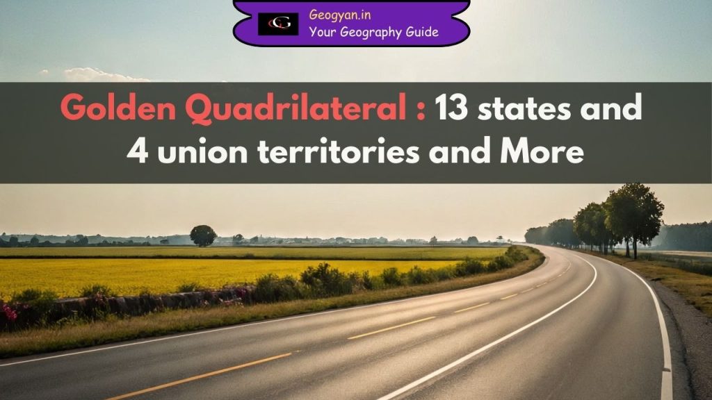
The Golden Quadrilateral (GQ) is India’s largest highway project connecting Delhi, Mumbai, Chennai, and Kolkata across 5,846 km. Covering 13 states, it plays a vital role in trade, defense, agriculture, and urban growth. This article explains its geography, importance, and current updates in simple, exam-oriented language for UPSC, SSC, and competitive exam preparation
Dhauladhar: The White Range
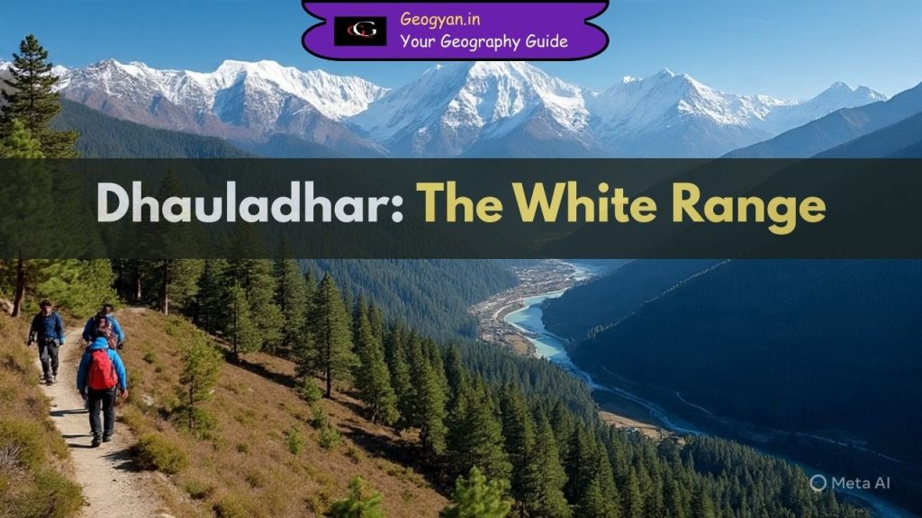
The Dhauladhar Range, part of the Lesser Himalayas in Himachal Pradesh, is known as the “White Range”. Its highest peak is Hanuman Tibba (5,639 m). Learn about its geography, biodiversity, valleys, rivers, and exam-focused facts. A must-read for UPSC, SSC, State PSC, and competitive exams preparation.
From Hailey to Jim Corbett: Story of the First National Park in India
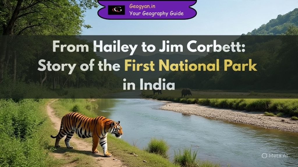
Jim Corbett National Park, the first national park in India (1936), is located in Uttarakhand. Originally called Hailey National Park, it became the first Project Tiger Reserve in 1973.
Major Dams in India

“Explore the comprehensive guide to major dams in India, covering their historical background, types, benefits, challenges, and future prospects. Ideal for geography students and competitive exam aspirants preparing for UGC NET, UPSC, RPSC, KVS, NVS, DSSSB, HPSC, HTET, RTET, UPPSC, and BPSC.”
Rural Settlements in India

Rural settlements in India refer to areas where the majority of the population is involved in agricultural, forestry, mining, and fishing activities. These settlements are commonly known as agricultural workshops due to their focus on agricultural practices.
Exploring the Magic of the Indian Monsoon: A Comprehensive Guide

The monsoon climate is characterized by high humidity, heavy rainfall, and dynamic weather phenomena. Monsoon winds, blowing from the southwest in summer and the northeast in winter, play a crucial role in determining the intensity and direction of the rainfall.
Climatic Regions of India

India has a tropical monsoon climate overall, but there are significant regional variations in rainfall and temperature. Rainfall varies more than temperature across the country. India receives ample sunshine from the tropical sun and abundant rainfall from the monsoon season, which are crucial factors for the people of India.
Indo Gangetic Plain

The Indo-Gangetic plains stretch alongside the Himalayas, from Jammu and Kashmir to Assam, covering a large part of northern and eastern India. The plains cover an area of 700,000 square kilometers and vary in width, ranging from several hundred kilometers across their length. The major rivers in this system are the Ganga, Indus, and their tributaries like Beas, Yamuna, Gomti, Ravi, Chambal, Sutlej, and Chenab.