Estimated reading time: 4 minutes
Table of contents
Introduction
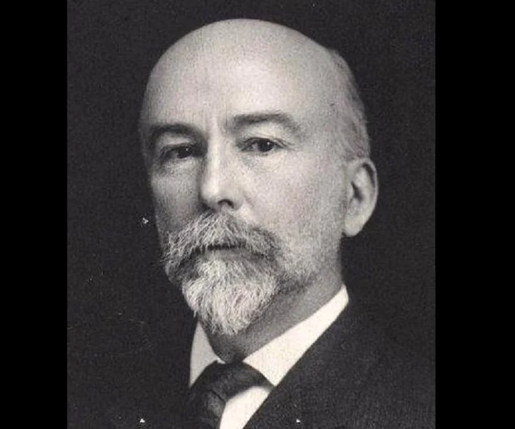
In the annals of ancient geography, Eratosthenes, the esteemed librarian of Alexandria in Egypt during the third century B.C., stands as a figure of scientific leadership. Alexandria’s renowned library held a prominent position as the finest in the ancient world. Among his many accomplishments, Eratosthenes achieved an impressive feat in calculating Earth’s polar circumference with remarkable accuracy, a significant achievement for the year 247 B.C. This article delves into the intriguing process he employed and the notable results he obtained.
Eratosthenes’ Geometric Experiment
Eratosthenes became aware through travelers’ accounts that on June 21, the Sun’s rays shone directly to the bottom of a well in Syene, present-day Aswan, Egypt. This indicated that the Sun was directly overhead at that location. In contrast, Eratosthenes knew from his own observations in Alexandria that the Sun’s rays were never directly overhead, even at noon on June 21. Armed with this information, he devised an experiment utilizing his extensive geometric knowledge.
At noon on June 21 in Alexandria, Eratosthenes measured the angle of a shadow cast by an obelisk, a perpendicular column. By knowing the height of the obelisk and measuring the length of the Sun’s shadow from its base, he solved the triangle and determined that the angle of the Sun’s rays was 7.2° off from being directly overhead. Conversely, in Syene on the same day, the angle of the Sun’s rays was 0° from perpendicular, indicating the Sun’s direct overhead position.

Earth’s circumference (a) and diameter (b)-equatorial and polar-are shown. The dashed line is a perfect circle
for reference to Earth’s geoid.
The Calculation
Leveraging geometric principles, Eratosthenes realized that the distance between Alexandria and Syene on the ground formed an arc of Earth’s circumference equivalent to the angle of the Sun’s rays in Alexandria. As 7.2° is approximately 1/50th of Earth’s total circumference (360° ÷ 7.2° = 50), Eratosthenes concluded that the distance between the two cities represented roughly 1/50th of Earth’s total circumference.
Determining the surface distance between Alexandria and Syene as 5000 stadia, A stadium, Greek unit of measure approximately equal to 185 meters (607 feet), Eratosthenes multiplied this value by 50. The result yielded an estimate of Earth’s polar circumference at approximately 250,000 stadia. Remarkably, Eratosthenes’ calculations converted to approximately 46,250 kilometers (28,738 miles), a figure remarkably close to the actual value of 40,008 kilometers (24,860 miles) for Earth’s polar circumference. A truly remarkable accomplishment for the year 247 B.C.!

Conclusion
Eratosthenes’ calculation of Earth’s polar circumference in 247 B.C. stands as a testament to his exceptional intellect and knowledge of geometry. Through his innovative experiment and accurate estimations, he provided a remarkably close approximation of Earth’s true size. His pioneering work laid the foundation for future advancements in geography and our understanding of the Earth’s dimensions. Eratosthenes’ legacy endures as a remarkable milestone in the exploration of our planet’s vast dimensions.
You May Also Like


One Response