


Estimated reading time: 3 minutes
Table of contents
Why is it in the News
The Sutlej River has recently been in the limelight due to water-sharing agreements under the Indus Waters Treaty between India and Pakistan, as well as concerns over changing hydrological patterns caused by glacial retreat in the Himalayas.
These changes critically affect water availability for millions dependent on the river’s resources in Punjab, Himachal Pradesh, and Pakistan.
About Sutlej River
- The Sutlej River, known locally as the Satluj, is the longest tributary of the Indus River, spanning approximately 1,450 kilometers.
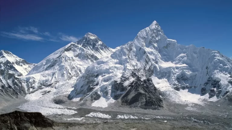
- It originates from the Rakshastal Lake near Mount Kailash in Tibet, flowing westward into India through the mountainous terrains of Himachal Pradesh, then the fertile plains of Punjab, before entering Pakistan’s Punjab province.
- The river’s basin supports extensive agriculture, especially wheat and rice cultivation, forming a backbone for the livelihoods of millions.
Geographical Insight of Sutlej River
- The Sutlej River originates from the Rakshastal Lake in Tibet, close to the sacred Mount Kailash, at an altitude of about 4,575 meters above sea level.
- It travels a long course of approximately 1,450 kilometers, passing through rugged mountainous sections in Himachal Pradesh, where it forms deep gorges carved by centuries of river erosion.
- On reaching Punjab, the river spreads into fertile alluvial plains, where it is extensively used for irrigation.
- The Sutlej has several key tributaries, including the Spiti, Baspa, and Beas rivers, which contribute significantly to its volume.
- Its drainage basin covers around 61,000 square kilometers.
- Ultimately, the Sutlej merges with the Indus River in Pakistan, contributing substantially to its flow.
- The river supports major hydropower stations, including the iconic Bhakra-Nangal Dam, one of the world’s highest gravity dams, pivotal to the region’s power supply and irrigation.
FAQs About Sutlej River
Q1: Where does the Sutlej River originate, and why is its source significant?
The Sutlej River originates from the Rakshastal Lake near Mount Kailash in Tibet, a region regarded as sacred and crucial because it links multiple river systems essential for South Asian hydrology.
Q2: Through which Indian states does the Sutlej flow, and what geographical changes does it undergo?
The river flows through Himachal Pradesh and Punjab, transitioning from narrow, deep mountain gorges in Himachal to wide fertile plains in Punjab, showing contrasting geomorphological features.
Q3: What are the major tributaries of the Sutlej River, and how do they influence its flow?
Major tributaries like the Spiti, Baspa, and Beas Rivers add considerable water volume, important for sustaining year-round river flow, especially during dry seasons.
Q4: How does the Bhakra-Nangal Dam impact the Sutlej River and the surrounding region?
The Bhakra-Nangal Dam provides crucial irrigation, flood control, and hydroelectric power to northern India, transforming Punjab and neighboring states into agricultural hubs.
Q5: What environmental challenges threaten the Sutlej River’s ecosystem?
Retreating glaciers caused by climate change reduce water availability, while pollution and deforestation degrade water quality and biodiversity, necessitating urgent conservation efforts.


