


Estimated reading time: 3 minutes
Table of contents
Why Subarnarekha River is in News
Subarnarekha River is making headlines due to extensive flooding in Balasore, Odisha, with over 50,000 people evacuated after water from the river swamped villages. Its notorious flood risk is a perennial issue, severely impacting agriculture, settlements, and livelihoods in three states.
The Subarnarekha basin illustrates classic water management conflicts, accentuated by rapid urban and industrial growth around Jamshedpur and mining hubs.
About Subarnarekha River
- The river originates near Nagri and Piska village in Ranchi District, Jharkhand, on the Chota Nagpur Plateau at about 600 meters elevation.
- It covers a distance of 395 kilometers (245 miles), traversing Ranchi, Saraikela Kharsawan, and East Singhbhum (Jharkhand), Paschim Medinipur (West Bengal), and Balasore (Odisha).
- It flows east and south-east, leaving the plateau by the Hundru Falls—a major natural landmark. The river passes through rich copper-mining areas before reaching the coastal plains.
- The catchment area ranges between 25,792 and 29,196 sq km—covering 7 districts in Jharkhand (48.8%), 2 in Odisha (37.96%), and 3 in West Bengal (13.2%).
- The river empties into the Bay of Bengal near Talsari (Odisha coastal strip).
- “Subarnarekha” (Streak of Gold) refers to gold traces once found in the riverbed near its origin; this legend shaped local folklore.
Geographical Features & Basin Topography
- Topographically it is divided into Two regions—(i) northern plateau and (ii) coastal plains. The plateau includes Jharkhand’s Ranchi and Singhbhum and West Bengal’s Purulia. Odisha’s basin portion is mostly hilly and forested (Mayurbhanj district).
- The highest point, 1166m, is found in Garhjat Range near Udala in Mayurbhanj, Odisha. Over 24% of basin area is dense forest and hilly terrain; major plain regions are 100-300m elevation zones.
- About 54% of the basin is agricultural land, vital for paddy and cash crop cultivation. Water bodies cover ~2.39%.
- The Subarnarekha and Burhabalang Rivers drive basin hydrology; the catchment supports lush vegetation and diverse wildlife, especially in the hilly areas.
- Kharkai (joins at Sonari, Jamshedpur), Kanchi, Karkari, Roro, Harmu Nadi, Damra, Karru, Chinguru, Gurma, Garra, Singaduba, Kodia, Dulunga, Khaijori etc. are the tributaries of this river.
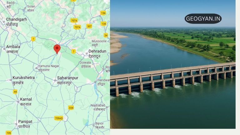
- Some of the notable barrages built on this river are Galudih Barrage (Jharkhand)—369m long and 27.5m high, Getalsud Reservoir, Chandil Dam, Icha Dam, Kharkai Barrage.
Frequently Asked Questions (FAQs)
Q1: Where does the Subarnarekha River originate?
A: Near Nagri and Piska village on Chota Nagpur Plateau, Ranchi, Jharkhand, at 600m elevation.
Q2: Which states and districts fall under its basin?
A: Mainly Jharkhand (7 districts), Odisha (2), and West Bengal (3), spanning 12 districts and 15 parliamentary constituencies.
Q3: What are the major tributaries and waterfalls?
A: Kharkai, Kanchi, Karkari, and others; Hundru Falls is the most prominent waterfall.
Q4: What is the predominant geology and land use in its basin?
A: Pre-Cambrian rocks (Jharkhand, West Bengal), Tertiary and alluvium (Odisha), fertile agricultural land (~54%), and dense forests (~24%).
Q5: How is water managed and utilized here?
A: Through major barrages and dams supplying irrigation, drinking water, and hydroelectric power, although competing demands often cause disputes.