


Estimated reading time: 4 minutes
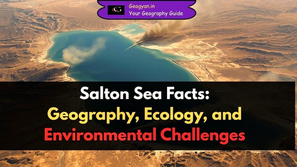
Table of contents
Why is the Salton Sea in the News?
The Salton Sea has been in the news in 2025 due to rising environmental and public health concerns. Recent studies reveal that the lake is emitting significant amounts of hydrogen sulfide gas, which has a foul “rotten egg” odor and exceeds air quality standards, putting nearby communities at risk. The Sea has also been shrinking steadily, losing over 60 square miles in 30 years, exposing dry lakebed that generates harmful dust storms affecting respiratory health.
About the Salton Sea?
The Salton Sea is California’s largest inland lake, but it is not naturally formed.
- It originated in 1905, when the Colorado River overflowed and accidentally filled a low-lying basin.
- The basin itself, called the Salton Trough, lies at an elevation of -86 meters below sea level, making it one of the lowest points in North America.
- Today, the lake stretches 56 km (35 miles) long and 24 km (15 miles) wide, with a surface area of nearly 890 sq km (343 sq miles).
Geographical Significance of the Salton Sea?
- Location – It lies in Southern California’s Colorado Desert, part of the larger Sonoran Desert ecosystem.
- Geological Setting – The Salton Sea sits near the San Andreas Fault Zone, a major tectonic boundary where the Pacific and North American Plates meet.
- Drainage Basin – The lake has no natural outlet; all water input comes from agricultural runoff, rainfall, and limited rivers (like the Alamo River and New River).
- Evaporation – Due to the desert climate, the lake loses over 1.3 meters (4 feet) of water annually through evaporation, making it increasingly salty.
Ecology of the Salton Sea: Why is it Important?
- In the mid-20th century, the Salton Sea became a vital habitat for migratory birds along the Pacific Flyway. At its peak, it supported over 400 bird species, making it one of the richest bird habitats in North America.
- Fish species such as Tilapia thrived for decades, supporting bird populations like pelicans and cormorants.
- However, salinity levels have risen sharply (now saltier than the Pacific Ocean), causing mass fish die-offs and reducing food sources for birds.
- Once a paradise for boating, fishing, and tourism, the lake is now considered an ecological disaster zone.
Economic and Historical Facts about the Salton Sea
- Tourism Hub (1950s–1970s): The Salton Sea was once marketed as the “California Riviera,” attracting celebrities and tourists for boating, fishing, and vacationing.
- Geothermal Energy: The region contains over 11 geothermal power plants, generating renewable electricity.
- Lithium Valley: The lakebed contains one of the world’s largest untapped lithium reserves, estimated to supply 40% of U.S. demand for electric vehicle batteries.
- Agriculture: Surrounding regions like the Imperial Valley are highly fertile, producing winter crops using irrigation from the Colorado River.
Role of Climate Change in the Salton Sea Crisis
- Rising temperatures have accelerated evaporation, shrinking the lake’s surface area.
- As water recedes, toxic dust from the exposed lakebed (containing pesticides, heavy metals, and salts) spreads across communities, worsening respiratory illnesses such as asthma.
- By 2040, scientists warn that the Salton Sea could lose most of its water volume if no interventions are made.
- Current projects include habitat restoration and dust control programs led by the California Natural Resources Agency.
Quick Facts Table: Salton Sea
| Fact | Details |
| Location | Southern California, USA |
| Formation | 1905, Colorado River flood |
| Elevation | -86 meters (below sea level) |
| Length | 56 km (35 miles) |
| Width | 24 km (15 miles) |
| Surface Area | ~890 sq km |
| Drainage Basin | ~8,000 sq km |
| Climate | Desert, high evaporation |
| Key Issues | Salinity, pollution, dust storms |
| Importance | Bird migration, lithium reserves, geothermal energy |
FAQs
Q1. Where is the Salton Sea located?
It is located in Southern California, within the Imperial and Coachella Valleys.
Q2. How was the Salton Sea formed?
It was created in 1905 when floodwaters from the Colorado River breached irrigation canals and filled the Salton Trough.
Q3. Why is the Salton Sea shrinking?
Due to high evaporation, limited water inflow, and climate change, the lake continues to recede.
Q4. Why is the Salton Sea called “Lithium Valley”?
Because the lakebed contains huge lithium deposits, crucial for electric vehicle batteries and renewable energy.
Q5. What environmental problems are linked to the Salton Sea?
Rising salinity, mass fish and bird die-offs, toxic dust storms, and health hazards for surrounding communities.


