


Estimated reading time: 3 minutes
Table of contents
Why is it in the News
In August 2025, the gates of Salal Dam, the first major hydroelectric power station in Jammu and Kashmir, were opened to safely discharge excess water from the swelling Chenab River due to unprecedented heavy rains.
This timely action highlights the dam’s crucial role in managing flood risks and harnessing hydropower in the region. Additionally, this event occurs against the backdrop of India’s suspension of the Indus Waters Treaty, underlining the dam’s increasing geopolitical significance.
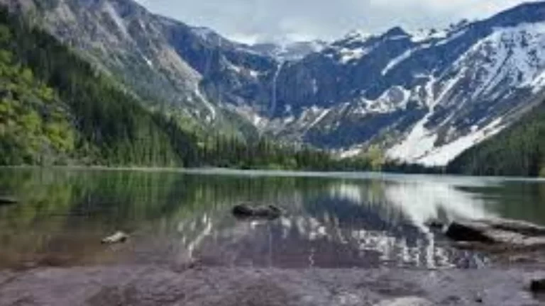
About Salal Dam
- Situated on the Chenab River in the Reasi district of Jammu and Kashmir, Salal Dam is a run-of-the-river hydropower project conceived in the 1960s and commissioned by India in the late 1980s.
- It boasts a power generation capacity of 690 MW, utilizing six Francis turbines.
- Strategically, it was the first project executed under the Indus Waters Treaty (IWT) regime, with design compromises to accommodate bilateral agreements with Pakistan, which governs waters downstream.
- Despite operational challenges like sedimentation caused by plugged under-sluices (as demanded by Pakistan), Salal remains vital to the northern power grid supplying multiple Indian states.
Geographical Highlights
- It is located on Chenab River, near Salal village, Reasi district, Jammu and Kashmir.
- This is a rockfill and concrete dam, with heights of approximately 118 and 113 meters respectively.
- Capacity: 690 MW (6×115 MW units).
- Acts as a run-of-river scheme, with no large reservoir pool, influencing flow regulation and sediment management.
- The dam controls critical water flow from the Chenab River, which continues downstream into Pakistan’s Punjab region, making it geopolitically sensitive.
Strategic Importance and Challenges
Salal Dam serves as a cornerstone in harnessing hydropower and flood control in Jammu and Kashmir, impacting regional energy supply and water management.
However, concessions during its construction—like reducing gate heights and plugging sediment flushing mechanisms—have limited its long-term operational sustainability, with sediment accumulation reducing capacity. In 2025, restoration efforts including de-silting have been implemented to improve efficiency amid changing climate challenges.
FAQs
Q1. What is the capacity of Salal Dam?
The dam has a total installed capacity of 690 MW, generated by six turbines each rated 115 MW.
Q2. Why were the gates of Salal Dam opened in August 2025?
Due to heavy rainfall and rising water levels in the Chenab River, the gates were opened as a precaution to prevent downstream flooding.
Q3. What are the geographical coordinates of Salal Dam?
It is located at approximately 33°08′33″N latitude and 74°48′37″E longitude in Reasi district, Jammu and Kashmir.
Q4. How does the Indus Waters Treaty affect Salal Dam operations?
The dam was built under the terms of the treaty, affecting design and operation. However, as of 2025, India has suspended its participation in the treaty amid geopolitical tensions.
Q5. What are the major structural features of Salal Dam?
It includes a rockfill dam 118 meters high and a concrete dam 113 meters high, equipped with six radial gates and penstocks.


