


Estimated reading time: 3 minutes
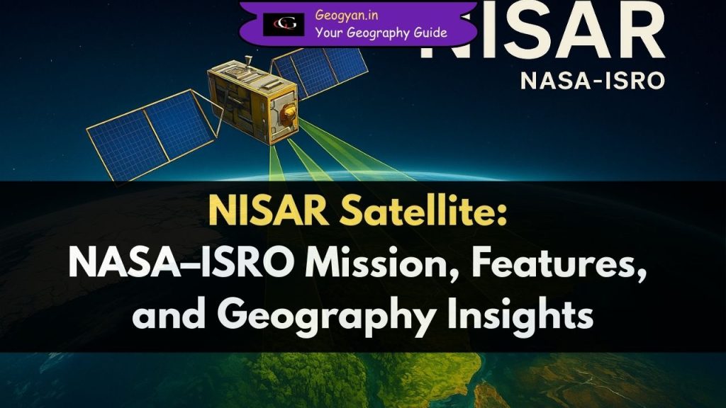
Table of contents
Why is NISAR Satellite in the news?
NISHAR (NASA-ISRO Synthetic Aperture Radar) satellite is in the news because it has just sent back its first radar images of Earth’s surface after being launched on July 30, 2025 through a collaborative mission between NASA and ISRO. These initial images reveal exceptional details of landscapes including forests, wetlands, rivers, farmland patterns, and urban areas across the United States, showcasing the satellite’s dual-band radar technology that can penetrate dense canopies and monitor subtle changes across Earth’s surface.
About NISAR Satellite?
The NISAR (NASA-ISRO Synthetic Aperture Radar) is a collaborative satellite developed by NASA (USA) and ISRO (India).
- It uses dual-frequency radar systems (L-band and S-band) to capture high-resolution images of the Earth’s surface.
- NISAR will orbit Earth every 12 days, covering the entire globe and generating valuable data for scientists.
- Its applications include studying earthquakes, landslides, floods, glaciers, soil moisture, and deforestation.
Fact: It is the first radar imaging satellite designed with dual-band technology for comprehensive Earth monitoring.
Why is NISAR Important for Earth Studies?
NISAR is not just another satellite—it is a scientific revolution.
- It will help in predicting natural disasters like earthquakes, tsunamis, and volcanic eruptions.
- It will track agricultural productivity by studying soil moisture and crop health.
- It can monitor glacial melting in the Himalayas and Antarctica, crucial for climate change research.
- It also helps in studying urban expansion and forest degradation.
With its 3D Earth imaging capability, NISAR will allow policymakers to make data-driven environmental decisions.
How Does NISAR Work?
- NISAR uses Synthetic Aperture Radar (SAR) to create images of Earth’s surface, regardless of day, night, or cloud cover.
- The L-band radar (by NASA) penetrates deeper into vegetation and soil, while the S-band radar (by ISRO) captures finer surface details.
- Together, they provide a complete Earth observation model.
This makes NISAR unique, as most satellites depend only on optical sensors which fail during cloudy or dark conditions.
Geographical Applications of NISAR?
- Glacial Studies: Tracking ice-sheet movement in Greenland, Antarctica, and Himalayas.
- Oceanography: Monitoring sea-level rise and coastal erosion.
- Forestry: Identifying deforestation trends in the Amazon, Congo, and Indian forests.
- Earthquakes & Volcanoes: Measuring land deformation in active fault zones.
- Agriculture: Assisting farmers by providing soil health and crop monitoring data.
What is the Timeline of NISAR Mission?
- 2014: NASA and ISRO signed agreement to jointly build NISAR.
- 2023: Major components like the radar reflector antenna were integrated.
- 2025: Scheduled launch from Satish Dhawan Space Centre, Sriharikota using GSLV Mk-II rocket.
Fact: NISAR will be the first big collaborative space mission between the US and India in Earth observation.
FAQs
Q1. Who developed the NISAR satellite?
NISAR is a joint mission by NASA (USA) and ISRO (India).
Q2. What makes NISAR unique?
It is the first dual-frequency radar satellite using both L-band and S-band radars for global Earth monitoring.
Q3. When will NISAR be launched?
NISAR is scheduled to launch in 2025 from Sriharikota, India.
Q4. How will NISAR help India?
It will support disaster management, monitor Himalayan glaciers, and assist in crop forecasting.
Q5. Why is NISAR important for climate change research?
It will measure sea-level rise, ice melt, and forest cover changes, helping scientists predict climate patterns.


