Estimated reading time: 3 minutes
Table of contents
Why is Kamchatka Peninsula in the News
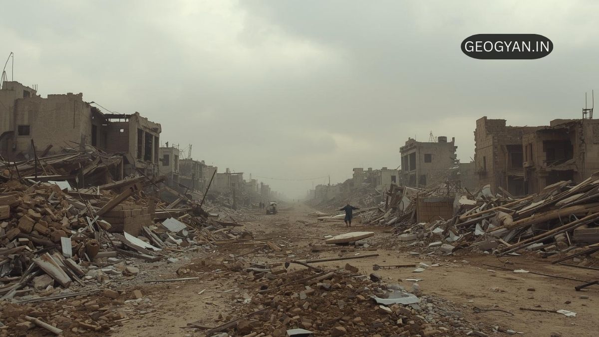
A magnitude 7.4 earthquake struck the east coast of Kamchatka Peninsula on September 13, 2025, near Petropavlovsk-Kamchatsky, triggering brief tsunami warnings which were later cancelled. Within days following the July 30 M8.8 quake, the Krasheninnikov volcano erupted after centuries of dormancy. These events highlight Kamchatka’s dynamic geology and importance in studying seismic and volcanic interplay.
About Kamchatka Peninsula
The Kamchatka Peninsula lies in Russia’s Far East and extends southwest between the Pacific Ocean and the Sea of Okhotsk. It is part of the Pacific Ring of Fire, featuring over 160 volcanoes, many active. The region is thinly populated, ecologically rich, with vast tundra, forests, and marine biodiversity. Its geological activity (earthquakes, eruptions) is one of the most intense on Earth.
Why Kamchatka Matters: Key Geographical Points
- Volcanic Activity & Earthquakes: Kamchatka includes very active volcanoes like Klyuchevskoy, Bezymianny, and Krasheninnikov, whose eruptions shape landforms and climate.
- Tectonic Setting: It rests on the boundary where the Pacific Plate subducts beneath the Okhotsk Sea Plate, causing frequent seismic activity. The shallow earthquakes trigger tsunamis and volcanic eruptions.
- Geothermal Energy: Kamchatka houses several geothermal power plants (e.g., Mutnovskaya 1 & 2, Verkhne-Mutnovskaya, Pauzhetskaya) that remain largely unaffected by recent earthquakes. These represent sustainable energy potential.
- Climate & Ecology: The climate is cold, with tundra in the north, boreal forests elsewhere, high rainfall on some coasts, and permafrost zones. Rich flora and fauna include salmon rivers, marine mammals, and migratory birds.
Questions for Insight
How do plate tectonics shape Kamchatka’s landscape?
Because the Pacific Plate subducts under the Peninsula, crustal stresses build up—leading to earthquakes and volcanic eruptions. Over time, repeated eruptions add volcanic cones; erosion and glaciers sculpt valleys and shape the rugged coastline.
What was the impact of the July 2025 M8.8 earthquake?
It was among the strongest recorded globally. It triggered tsunami warnings in Japan, Alaska, Hawaii, caused land shifts, and was followed by volcanic activity such as the Krasheninnikov eruption. Damage was limited; monitoring infrastructure held up.
Is Kamchatka a hotspot for geothermal energy?
Yes. Geothermal plants in the south such as Mutnovskaya and Pauzhetskaya are operational and survived recent seismic events. Expansion projects like Mutnovskaya 2 are underway, showing strong interest in harnessing this renewable resource.
FAQs
Q: What defines Kamchatka’s volcanic system?
It is comprised of more than 60 active volcanoes aligned on volcanic arcs and stratovolcanoes. Many volcanoes have frequent ash emissions and eruptions, driven by subduction dynamics under the region.
Q: How often do powerful earthquakes occur in Kamchatka?
Historically, large earthquakes (magnitude 7-9) hit Kamchatka every few decades. The 2025 M8.8 quake is a recent example. Smaller quakes and aftershocks are more frequent due to plate movements.
Q: Does Kamchatka influence global climate or air traffic?
Volcanoes can inject ash high into the atmosphere, affecting air travel, especially across the Pacific. Eruptions also affect local climate temporarily, and geothermal heat output influences ground temperature in its vicinity.
Q: Can people live safely in Kamchatka given the hazards?
Yes, many live in Petropavlovsk-Kamchatsky and smaller settlements. Safety is improved by monitoring systems, building codes adapted to seismic risk, emergency protocols. However, remote areas remain risky.