

The Kara Sea (Click here to see map) is a remote Arctic marginal sea located off the northern coast of Siberia, Russia, bordered by the Barents Sea to the west and the Laptev Sea to the east. It lies entirely within Russia’s exclusive economic zone, with its southern shores touching the Siberian mainland and its northern boundaries framed by islands like Novaya Zemlya and Severnaya Zemlya.
The Kara Sea is frozen for most of the year (October to June) due to its extreme Arctic climate, but it serves as a crucial part of the Northern Sea Route—a strategic shipping passage.
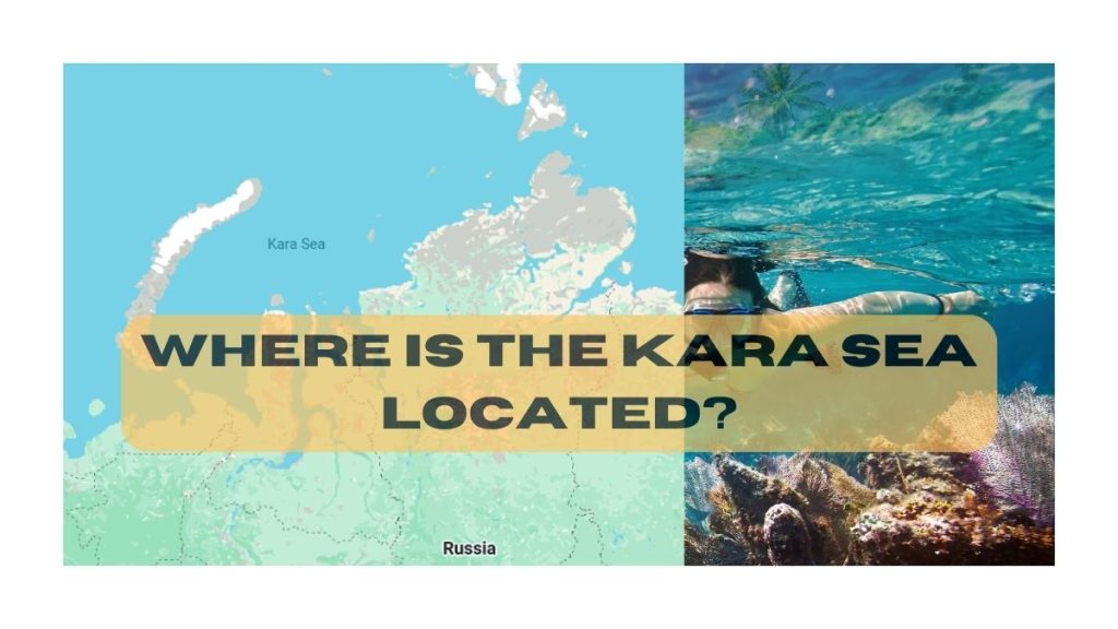
Geographic Location & Boundaries
The Kara Sea is part of the Arctic Ocean, enclosed by:
- West: The Novaya Zemlya archipelago (separating it from the Barents Sea).
- East: The Severnaya Zemlya islands (dividing it from the Laptev Sea).
- South: The Siberian coastline (including the Yamal and Gydan Peninsulas).
- North: The open Arctic Ocean, connected via straits like the Kara Strait and Vilkitsky Strait.
Key Facts:
- Kara Sea stretches between 70°N to 80°N latitude and 55°E to 105°E longitude.
- Area: ~880,000 km² (varies with ice cover).
- Average Depth: 110 meters (max depth ~620 meters).
- Major Rivers Feeding It: The Ob, Yenisei, and Pyasina rivers bring freshwater, reducing salinity near coasts.
Climate & Ice Conditions
The Kara Sea has a harsh polar climate, with:
- Winter (October–June): Almost entirely frozen, with ice thickness reaching 1.5–2 meters.
- Summer (July–September): Partial melting allows limited shipping and research activities.
Due to climate change, ice cover is gradually decreasing, opening new navigation possibilities—but also raising environmental concerns.
Why Is the Kara Sea Important?
A. Strategic Shipping Route
- Part of Russia’s Northern Sea Route, a faster alternative to the Suez Canal for Asia-Europe trade.
- Icebreaker-assisted shipping occurs in summer.
B. Natural Resources
- Huge oil and gas reserves (e.g., Yamal LNG project).
- Potential for future Arctic drilling, though controversial due to ecological risks.
C. Scientific & Military Significance
- Soviet-era nuclear waste dumping (raising pollution concerns).
- Research stations monitor Arctic climate change.
History & Exploration
- 16th Century: Russian explorers (Pomors) first navigated its waters.
- 20th Century: Soviet Union used it for nuclear testing (Novaya Zemlya was a test site).
- Today: Key for Arctic trade and energy projects.
Frequently Asked Questions (FAQs)
Yes, the Kara Sea lies entirely within Russia’s territorial waters and exclusive economic zone (EEZ). It is bordered by the Siberian mainland to the south and Russian Arctic islands like Novaya Zemlya to the west.
The Kara Sea has an average depth of about 110 meters (360 feet), with its deepest point reaching approximately 620 meters (2,034 feet) in the St. Anna Trough.
The Kara Sea is frozen for most of the year, typically from October to June. During the brief Arctic summer (July to September), some ice melts, allowing limited navigation with icebreaker support.
Only Russia borders the Kara Sea. It is enclosed by Siberia to the south, Novaya Zemlya to the west, and Severnaya Zemlya to the east.
Yes, the Kara Sea faces pollution concerns, primarily from Soviet-era nuclear waste dumping and potential oil spills due to increased shipping and energy exploration activities.