Physical Geography
5 Major Branches of Geomorphology
A concise, exam-focused explanation of the major branches of geomorphology, covering applied, tectonic, submarine, climatic, and planetary landform studies. Designed
A concise, exam-focused explanation of the major branches of geomorphology, covering applied, tectonic, submarine, climatic, and planetary landform studies. Designed
A complete, exam-ready overview of Ranthambore National Park—its geography, wildlife, history, safari zones, conservation issues, and tiger population.
Relict landforms are long-surviving features shaped by vanished climatic processes. Learn their meaning, formation, characteristics, examples, and geomorphological significance in
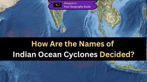
Learn how the India Meteorological Department and WMO/ESCAP collaborate to name Indian Ocean cyclones scientifically. This article explains the naming

Delhi is set to witness its first artificial rain on October 29, 2025, through cloud seeding by IIT Kanpur. Learn
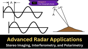
Radar technology has evolved significantly, allowing scientists and researchers to map terrains, measure elevations, and analyze surface features with high