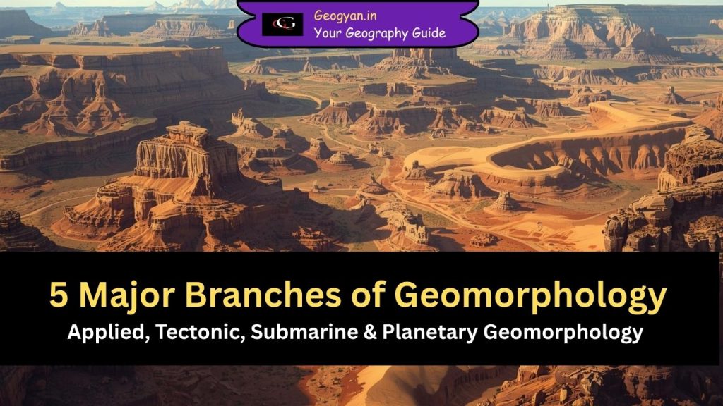
5 Major Branches of Geomorphology

A concise, exam-focused explanation of the major branches of geomorphology, covering applied, tectonic, submarine, climatic, and planetary landform studies. Designed for quick understanding, UPSC preparation, and Google Discover visibility.
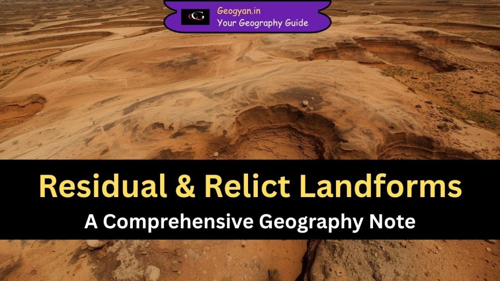
Residual & Relict Landforms: A Comprehensive Geography Note

Relict landforms are long-surviving features shaped by vanished climatic processes. Learn their meaning, formation, characteristics, examples, and geomorphological significance in a UPSC-ready format.
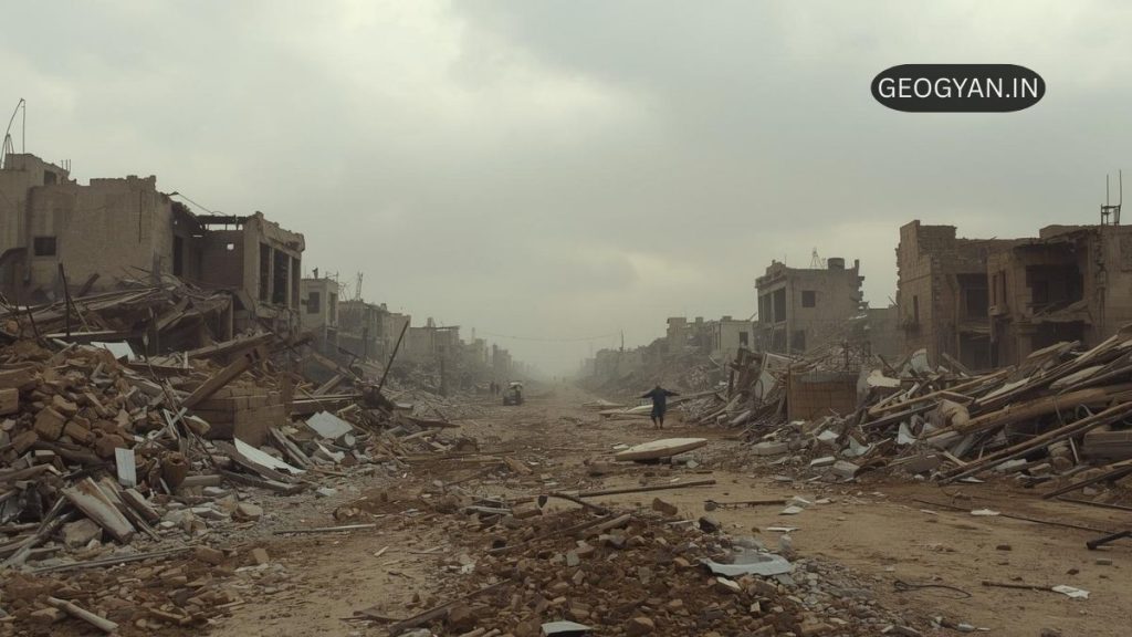
Everything You Need to Know About Earthquakes in One Place

An earthquake, the shaking of Earth’s surface, results from energy release in the lithosphere. Primarily caused by tectonic plate movement and stress buildup along faults, other triggers include volcanic activity, landslides, and human actions like fracking. Key terms include hypocenter, epicenter, magnitude, intensity, seismic waves (P-waves, S-waves), aftershocks, and tsunamis. Earthquakes are measured by seismographs using scales like the Moment Magnitude Scale. High-risk areas include the Pacific Ring of Fire.
Early Ocean Voyages: Exploring the Seas for Economic Prosperity

Discover how early civilizations like the Phoenicians, Greeks, and Polynesians mastered Early Ocean Voyages for trade and exploration. Learn about their innovations in navigation, shipbuilding, and chart-making, laying the foundation for modern marine science.
Marine Sediments: Terrigenous, Biogenous, Hydrogenous, and Cosmogenous

Discover the four main types of marine sediments – terrigenous, biogenous, hydrogenous, and cosmogenous. Learn about their origins, composition, and importance in studying Earth’s geological history.
What Causes Tides? High, Low, Spring, Neap Tides | Tidal Bore

Discover the wonders of tides, from the daily rise and fall of high and low tides to the unique behaviors of spring and neap tides. Learn about the thrilling tidal bore phenomenon and its impact on coastal communities.
Cloudbursts: Causes, Effects, and Preparedness

Discover the captivating phenomenon of cloudbursts – sudden, intense rainfall events capable of causing significant damage. Learn about their causes, effects, and the regions most vulnerable to these natural occurrences.
Coriolis Force

Coriolis force, also known as Coriolis effect, is an apparent force created due to the Earth’s rotation. It causes winds in the Northern Hemisphere to veer to the right and those in the Southern Hemisphere to veer to the left.
Temperature Concepts and Measurement

Heat and temperature are not the same. Heat is a form of energy that flows from one system or object to another because the two are at different temperatures. Temperature is a measure of the average kinetic energy (motion) of individual molecules in matter.
The Hydrologic Cycle

The hydrologic cycle describes the global flow of water to and from oceans, land, and atmosphere. Water moves by evaporation, precipitation, and runoff.
River Capture

If there are two adjacent rivers and one is more powerful than the other, then the more powerful river may capture its weaker neighbor. For this to happen, the more powerful river must flow at a lower level and it must erode its channel, both headward and vertically, at a faster rate than its neighbor.
Weathering Processes: Unveiling the Earth’s Surface Evolution

Weathering is a fundamental process that shapes the Earth’s surface, impacting rocks both at the surface and below. It involves the disintegration and dissolution of rocks through physical and chemical processes. While weathering does not transport materials, it generates them for erosion and transportation by various agents like water, wind, waves, and ice, all under the influence of gravity.
Coasts: Where Land and Sea Meet

The shore, where the ocean meets the land, is the immediate boundary between the two. However, the term “coast” encompasses a larger area that includes not just the sandy beach but also the marshes, sand dunes, cliffs, sandbars, and troughs near the shoreline. In total, the world’s coastline stretches for approximately 440,000 kilometers (273,000 miles).
Unveiling the Forces Behind Tsunamis

Tsunamis, derived from the Japanese words “tsu” (harbor) and “nami” (wave), are long-wavelength, shallow-water progressive waves caused by the sudden displacement of ocean water. They can result from various sources, including seismic activity, underwater landslides, volcanic eruptions, asteroid impacts, and other direct disturbances to the water surface.
Understanding the Fascinating Dynamics of Ocean Waves

The wave crest represents the highest point above the average water level, while the wave trough is the valley between two crests below the average water level. Wave height measures the vertical distance between a crest and its adjacent trough, while wavelength denotes the horizontal distance between successive crests or troughs. Understanding these parameters helps us analyze and comprehend the behavior of ocean waves.
